Datoteka:Plan of the city and fortifications of algiers - 1816.jpg

Veličina ovog prikaza: 746 × 600 piksela. Druge rezolucije: 299 × 240 piksela | 597 × 480 piksela | 955 × 768 piksela | 1.274 × 1.024 piksela | 1.500 × 1.206 piksela.
Izvorna datoteka (1.500 × 1.206 piksela, veličina datoteke/fajla: 172 kB, MIME tip: image/jpeg)
Opis izmjene
| Opis |
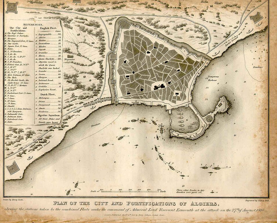
English: Plan of the city and fortifications of Algiers, showing the stations taken by the combined Fleets under the command of Admiral Lord Viscount Exmouth at the attack on the 27th of August 1816. |
||||||||||||||||
| Datum | |||||||||||||||||
| Izvor | http://encyclopedie-afn.org/index.php/Alger_-_Exmouth_-Carte | ||||||||||||||||
| Autor |
|
||||||||||||||||
Licenciranje
|
Ovo je djelo u javnom vlasništvu u zemlji podrijetla i u drugim zemljama s rokom trajanja autorskih prava za života autora plus 100 godina ili manje. | |
| Ova datoteka je identificirana kao slobodna od poznatih ograničenja po zakonu o autorskim pravima, uključujući sva povezana i srodna prava. | |
Historija datoteke
Kliknite na datum/vrijeme da biste vidjeli tadašnju verziju datoteke.
| Datum/vrijeme | Minijatura | Dimenzije | Korisnik | Komentar | |
|---|---|---|---|---|---|
| aktualna | 07:49, 6 septembar 2010 | | 1.500 × 1.206 (172 kB) | Madame Grinderche | {{Information |Description={{en|1=Plan of the city and fortifications of Algiers, showing the stations taken by the combined Fleets under the command of Admiral Lord Viscount Exmouth at the attack on the 27th of August 1816.}} |Source=http://encyclopedie- |
Upotreba datoteke
Sljedeća stranica koristi ovu datoteku:
Globalna upotreba datoteke
Ovu datoteku upotrebljavaju i sljedeći projekti:
- Upotreba na projektu hr.wikipedia.org