Datoteka:Map of Iowa highlighting Lee County.svg

Veličina ovog PNG-pregleda ove SVG-datoteke: 800 × 524 piksela. Druge rezolucije: 320 × 210 piksela | 640 × 419 piksela | 1.024 × 671 piksela | 1.280 × 838 piksela | 2.560 × 1.677 piksela | 5.350 × 3.504 piksela.
Izvorna datoteka (SVG fajl, nominalno 5.350 × 3.504 piksela, veličina fajla: 43 kB)
Opis izmjene
| Opis |
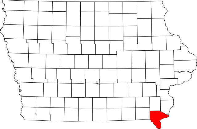
English: This is a locator map showing Lee County in Iowa. For more information, see Commons:United States county locator maps. |
| Datum | |
| Izvor |
Vlastito djelo: English: The maps use data from nationalatlas.gov, specifically countyp020.tar.gz on the Raw Data Download page. The maps also use state outline data from statesp020.tar.gz. The Florida maps use hydrogm020.tar.gz to display Lake Okeechobee. |
| Autor | David Benbennick |
Licenciranje
| Ja, vlasnik autorskog prava ovog djela, objavljujem ovaj rad u javno vlasništvo. Ovo se primjenjuje u cijelom svijetu. U nekim državama ovo zakonski nije moguće; u tom slučaju: Ja dopuštam svima pravo korištenja ovog rada u bilo koju svrhu, bez ikakvih uslova, osim ako su takvi uslovi zakonski neophodni. |
Historija datoteke
Kliknite na datum/vrijeme da biste vidjeli tadašnju verziju datoteke.
| Datum/vrijeme | Minijatura | Dimenzije | Korisnik | Komentar | |
|---|---|---|---|---|---|
| aktualna | 14:15, 12 februar 2006 | | 5.350 × 3.504 (43 kB) | David Benbennick | {{subst:User:Dbenbenn/clm|county=Lee County|state=Iowa}} |
Upotreba datoteke
Sljedeća stranica koristi ovu datoteku:
Globalna upotreba datoteke
Ovu datoteku upotrebljavaju i sljedeći projekti:
- Upotreba na projektu ar.wikipedia.org
- Upotreba na projektu azb.wikipedia.org
- Upotreba na projektu bg.wikipedia.org
- Upotreba na projektu bpy.wikipedia.org
- Upotreba na projektu cdo.wikipedia.org
- Upotreba na projektu ceb.wikipedia.org
- Upotreba na projektu ce.wikipedia.org
- Upotreba na projektu cy.wikipedia.org
- Upotreba na projektu de.wikipedia.org
- Upotreba na projektu en.wikipedia.org
- List of counties in Iowa
- Lee County, Iowa
- Donnellson, Iowa
- Fort Madison, Iowa
- Franklin, Iowa
- Houghton, Iowa
- Keokuk, Iowa
- Montrose, Iowa
- St. Paul, Iowa
- West Point, Iowa
- Fort Madison Toll Bridge
- Keokuk National Cemetery
- Lock and Dam No. 19
- Template:Lee County, Iowa
- George M. Verity (towboat)
- Atchison, Topeka and Santa Fe Passenger and Freight Complex Historic District
- Denmark, Iowa
- Argyle, Iowa
- Pilot Grove, Iowa
- Wever, Iowa
- National Register of Historic Places listings in Lee County, Iowa
- New Boston, Iowa
- Fort Madison Downtown Commercial Historic District
- Faeth Farmstead and Orchard District
- Charleston, Iowa
- User:Nyttend/County templates/IA/2