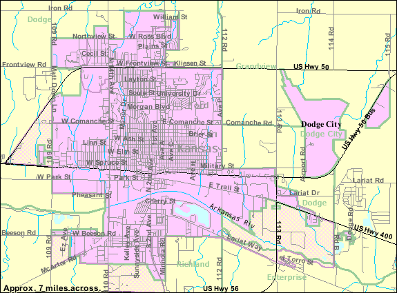
Datoteka:Map of Dodge City, Kansas.gif
Veća rezolucija nije dostupna.
Map_of_Dodge_City,_Kansas.gif (575 × 425 piksela, veličina datoteke/fajla: 53 kB, MIME tip: image/gif)
| Opis |
English: Map of Dodge City, Kansas |
|||
| Datum | Nepoznat datum; downloaded 9 August 2010 | |||
| Izvor | http://factfinder.census.gov/servlet/MapItDrawServlet?geo_id=16000US2018250&_bucket_id=48&tree_id=338&context=saff&_lang=en&_sse=on, from http://factfinder.census.gov | |||
| Autor | United States Census Bureau | |||
| Dopuštenje (Ponovna upotreba ove datoteke) |
|

Historija datoteke
Kliknite na datum/vrijeme da biste vidjeli tadašnju verziju datoteke.
| Datum/vrijeme | Minijatura | Dimenzije | Korisnik | Komentar | |
|---|---|---|---|---|---|
| aktualna | 23:06, 29 oktobar 2010 | | 575 × 425 (53 kB) | FUBAR007 | More detailed map from {{w|United States Census Bureau}} |
| 15:08, 9 august 2010 |  | 575 × 425 (26 kB) | FUBAR007 | {{Information |Description={{en|1=Map of {{w|Dodge City, Kansas}}}} |Source=http://factfinder.census.gov/servlet/MapItDrawServlet?geo_id=16000US2018250&_bucket_id=48&tree_id=338&context=saff&_lang=en&_sse=on, from http://factfinder.census.gov |Author={{w| |
Upotreba datoteke
Sljedeća stranica koristi ovu datoteku:
Globalna upotreba datoteke
Ovu datoteku upotrebljavaju i sljedeći projekti:
- Upotreba na projektu en.wikipedia.org
- Upotreba na projektu fa.wikipedia.org