Datoteka:Afghanistan insurgency 1985.png

Veličina ovog prikaza: 764 × 600 piksela. Druge rezolucije: 306 × 240 piksela | 612 × 480 piksela | 979 × 768 piksela | 1.280 × 1.005 piksela | 2.560 × 2.009 piksela | 3.426 × 2.689 piksela.
Izvorna datoteka (3.426 × 2.689 piksela, veličina datoteke/fajla: 6,11 MB, MIME tip: image/png)

|
This military map image could be re-created using vector graphics as an SVG file. This has several advantages; see Commons:Media for cleanup for more information. If an SVG form of this image is available, please upload it and afterwards replace this template with
{{vector version available|new image name}}.
It is recommended to name the SVG file “Afghanistan insurgency 1985.svg”—then the template Vector version available (or Vva) does not need the new image name parameter. |
| Opis |
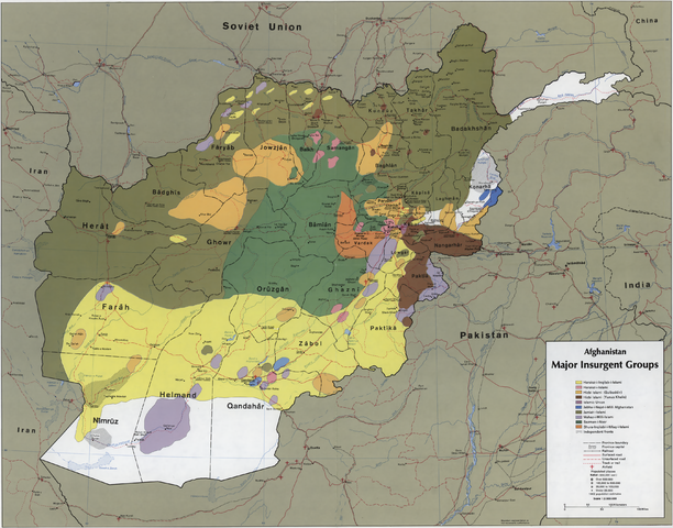
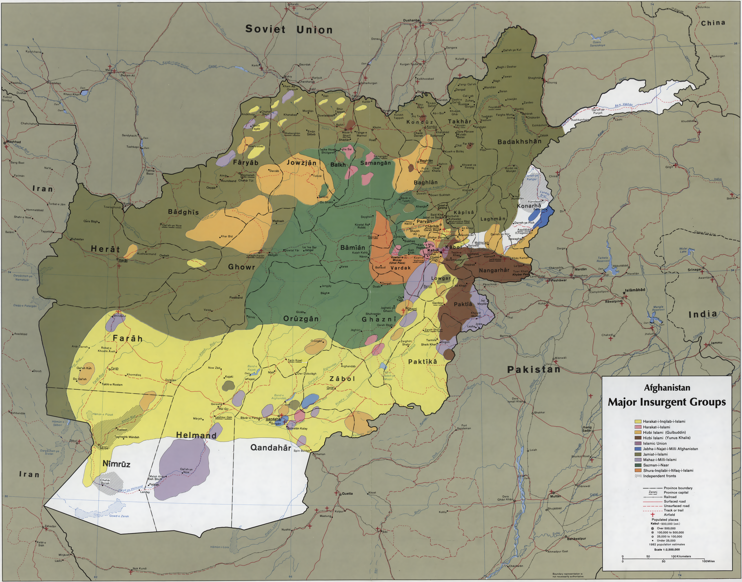
English: CIA map showing the areas where the main Mujahideen factions operated in 1985, during the Soviet war in Afghanistan. Scale 1:2,500,000 (E 60°–E 75°/N 29°–N 38°). |
|||
| Datum | ||||
| Izvor |
|
|||
| Autor | Central Intelligence Agency | |||
| Dopuštenje (Ponovna upotreba ove datoteke) |
|
|||
| Ostale verzije | See file history for image in the original resolution (6,852×5,377). |


Historija datoteke
Kliknite na datum/vrijeme da biste vidjeli tadašnju verziju datoteke.
| Datum/vrijeme | Minijatura | Dimenzije | Korisnik | Komentar | |
|---|---|---|---|---|---|
| aktualna | 10:22, 23 august 2011 | | 3.426 × 2.689 (6,11 MB) | Mikhail Ryazanov | Rescaled to 50% for thumbnailing (12.5 Mpx limit). |
| 10:17, 23 august 2011 |  | 6.852 × 5.377 (13,16 MB) | Mikhail Ryazanov | {{Information |Description ={{en|1=CIA map showing the areas where the main Mujahideen factions operated in 1985, during the Soviet war in Afghanistan. Scale 1:2,500,000 (E 600--E 750/N 380--N 290).}} |Source ={{LOC-map|id=g7631r.ct001104}} |Au |
Upotreba datoteke
Sljedeća stranica koristi ovu datoteku:
Globalna upotreba datoteke
Ovu datoteku upotrebljavaju i sljedeći projekti:
- Upotreba na projektu azb.wikipedia.org
- Upotreba na projektu ba.wikipedia.org
- Upotreba na projektu br.wikipedia.org
- Upotreba na projektu de.wikipedia.org
- Upotreba na projektu en.wikipedia.org
- Upotreba na projektu fa.wikipedia.org
- Upotreba na projektu it.wikipedia.org
- Upotreba na projektu pt.wikipedia.org
- Upotreba na projektu ro.wikipedia.org
- Upotreba na projektu ru.wikipedia.org
- Upotreba na projektu ta.wikipedia.org
- Upotreba na projektu uk.wikipedia.org