Datoteka:Map of Kentucky highlighting Lincoln County.svg

Veličina ovog PNG-pregleda ove SVG-datoteke: 800 × 345 piksela. Druge rezolucije: 320 × 138 piksela | 640 × 276 piksela | 1.024 × 441 piksela | 1.280 × 551 piksela | 2.560 × 1.103 piksela | 6.770 × 2.916 piksela.
Izvorna datoteka (SVG fajl, nominalno 6.770 × 2.916 piksela, veličina fajla: 127 kB)
Opis izmjene
| Opis |
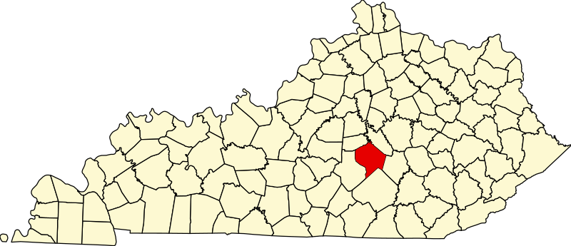
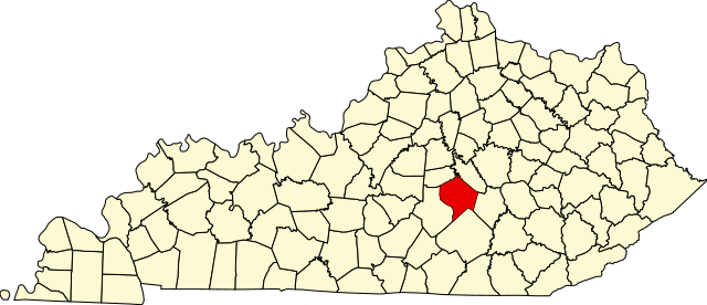
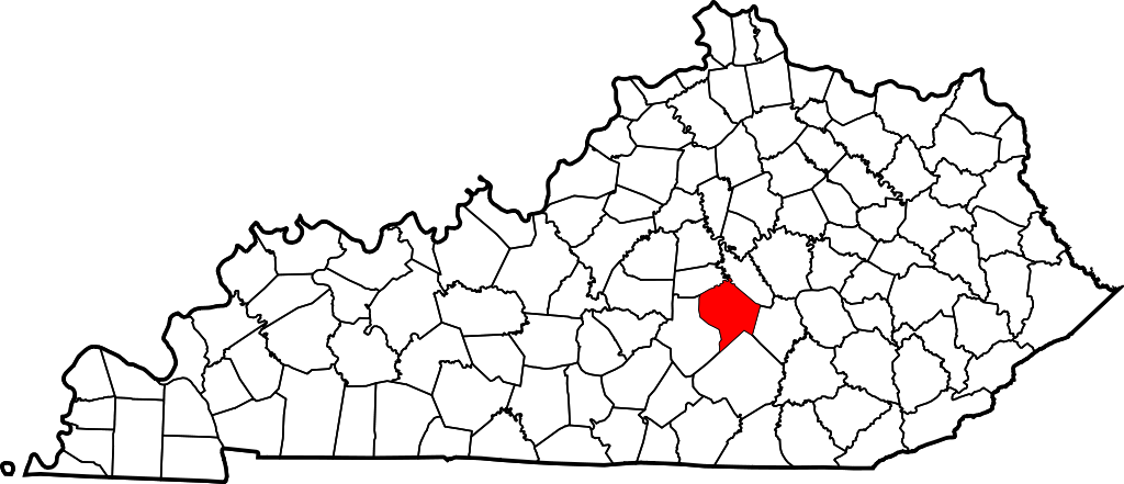
English: This is a locator map showing Lincoln County in Kentucky. For more information, see Commons:United States county locator maps. |
| Datum | |
| Izvor |
Vlastito djelo: English: The maps use data from nationalatlas.gov, specifically countyp020.tar.gz on the Raw Data Download page. The maps also use state outline data from statesp020.tar.gz. The Florida maps use hydrogm020.tar.gz to display Lake Okeechobee. |
| Autor | David Benbennick |
Licenciranje
| Ja, vlasnik autorskog prava ovog djela, objavljujem ovaj rad u javno vlasništvo. Ovo se primjenjuje u cijelom svijetu. U nekim državama ovo zakonski nije moguće; u tom slučaju: Ja dopuštam svima pravo korištenja ovog rada u bilo koju svrhu, bez ikakvih uslova, osim ako su takvi uslovi zakonski neophodni. |
Historija datoteke
Kliknite na datum/vrijeme da biste vidjeli tadašnju verziju datoteke.
| Datum/vrijeme | Minijatura | Dimenzije | Korisnik | Komentar | |
|---|---|---|---|---|---|
| aktualna | 14:23, 12 februar 2006 | | 6.770 × 2.916 (127 kB) | David Benbennick | {{subst:User:Dbenbenn/clm|county=Lincoln County|state=Kentucky}} |
Upotreba datoteke
Sljedeća stranica koristi ovu datoteku:
Globalna upotreba datoteke
Ovu datoteku upotrebljavaju i sljedeći projekti:
- Upotreba na projektu ar.wikipedia.org
- Upotreba na projektu bg.wikipedia.org
- Upotreba na projektu bpy.wikipedia.org
- Upotreba na projektu ca.wikipedia.org
- Upotreba na projektu cdo.wikipedia.org
- Upotreba na projektu ceb.wikipedia.org
- Upotreba na projektu ce.wikipedia.org
- Upotreba na projektu cs.wikipedia.org
- Upotreba na projektu cy.wikipedia.org
- Upotreba na projektu de.wikipedia.org
- Upotreba na projektu en.wikipedia.org
- Lincoln County, Kentucky
- Crab Orchard, Kentucky
- Hustonville, Kentucky
- Stanford, Kentucky
- Junction City, Kentucky
- Eubank, Kentucky
- Cedar Creek (Dix River tributary)
- List of counties in Kentucky
- Template:Lincoln County, Kentucky
- User:Nyttend/County templates/KY/2
- National Register of Historic Places listings in Lincoln County, Kentucky
- Category:Populated places in Lincoln County, Kentucky
- O K, Kentucky
- Dog Walk, Kentucky
- Chicken Bristle, Kentucky
- Blue Lick, Kentucky
- Turkeytown, Kentucky
- Jumbo, Kentucky
- Hubble, Kentucky
- Walnut Flat, Kentucky
- Preachersville, Kentucky
- Pleasant Point, Lincoln County, Kentucky
- Miracle, Lincoln County, Kentucky
- Kings Mountain, Kentucky
- Waynesburg, Kentucky